Features
- Provides real-time measurement
- Fast calculation
- less than one minute after data collection
- High temporal and spatial resolution
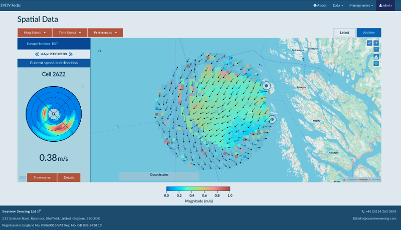
- Creates metocean data
- maps
- time-series plots
- directional spectra
- Data update
- typically refreshed every 10 minutes to one hour as required
- Environmental warnings
- currently available as an extra service tailored to client needs.
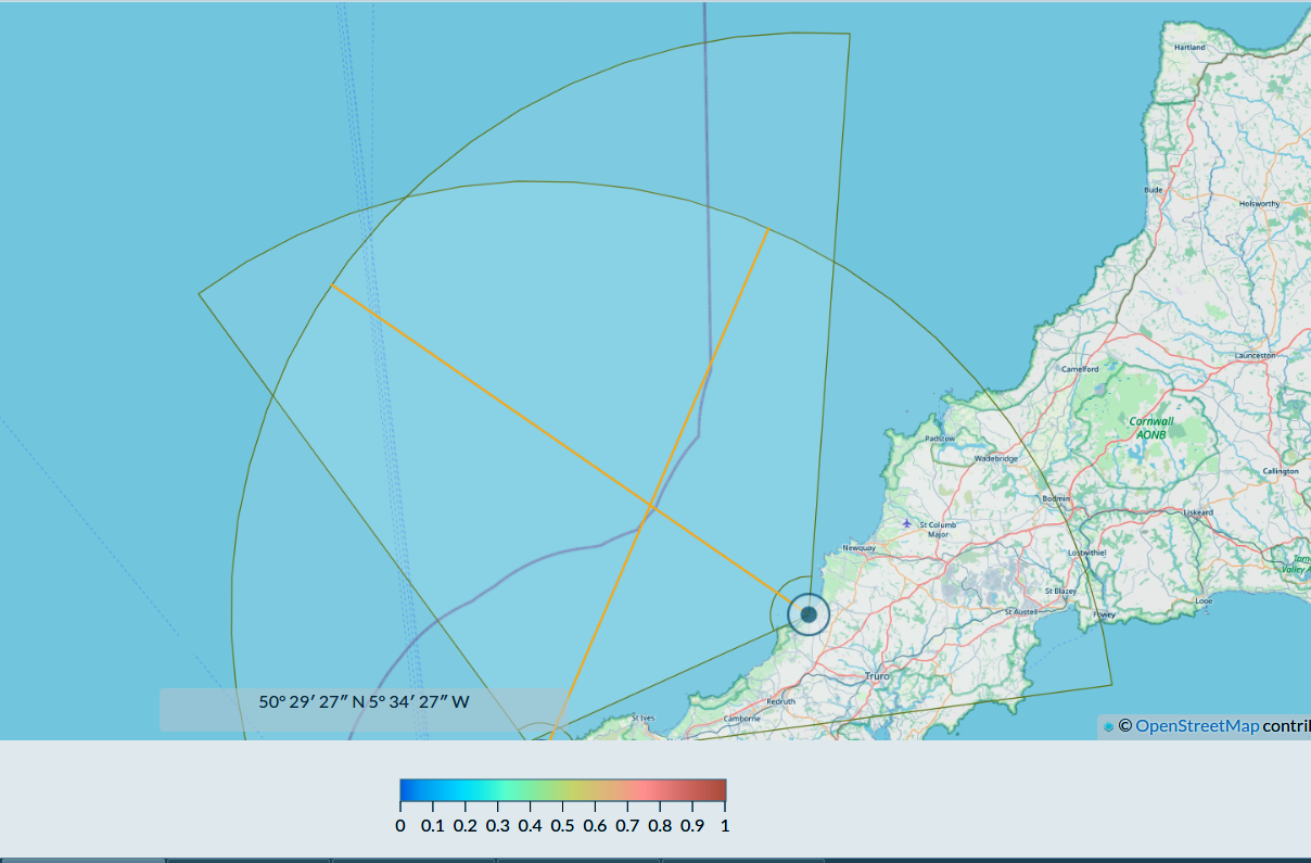
- Large coverage
- distance: up to 250 km offshore
- area: 20,000 km2 – 40,000 km2 with fine spatial resolution.
Depending on radar installation, the range and resolution would typically be:- currents and wind measurements
50 km at 1 km resolution
250 km at 15 km resolution - wave measurements
25 km at 1 km resolution
150 km at 15 km resolution
- currents and wind measurements
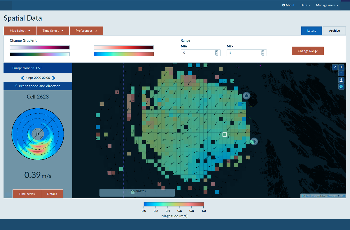
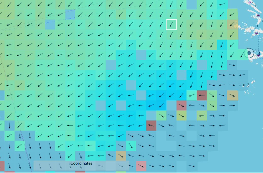
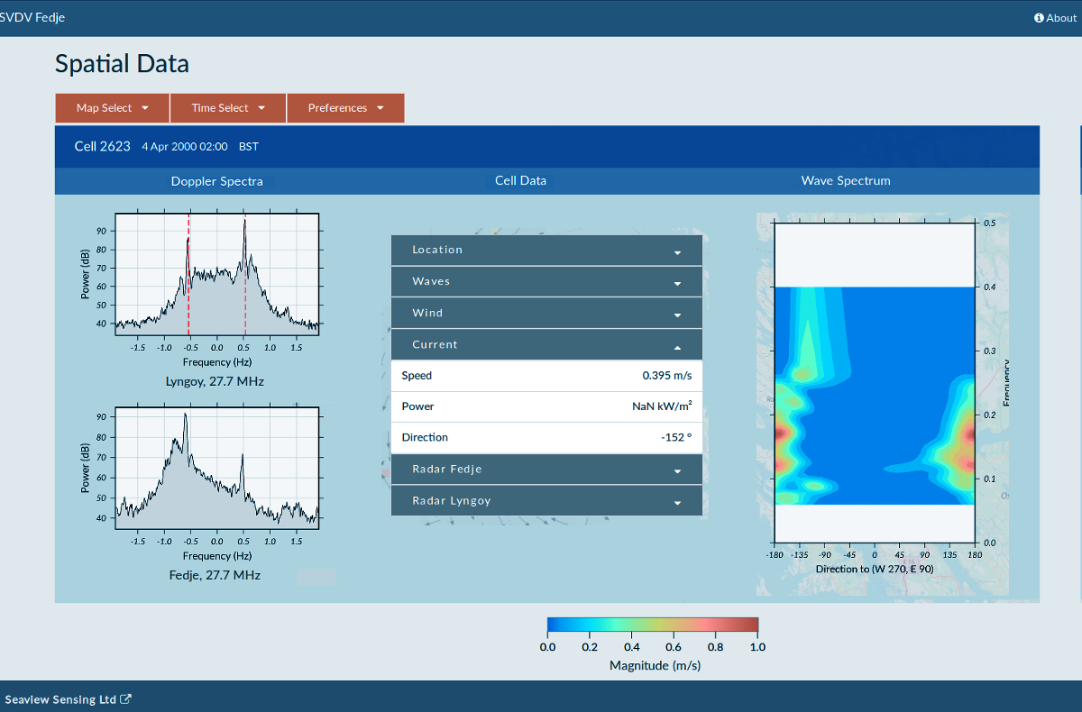
- For each grid point, where the radar signal is sufficient, provides measurement of:
- surface current direction & speed
- wave height
- wave period
- wave direction
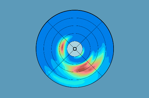
- full directional spectrum
- wind direction
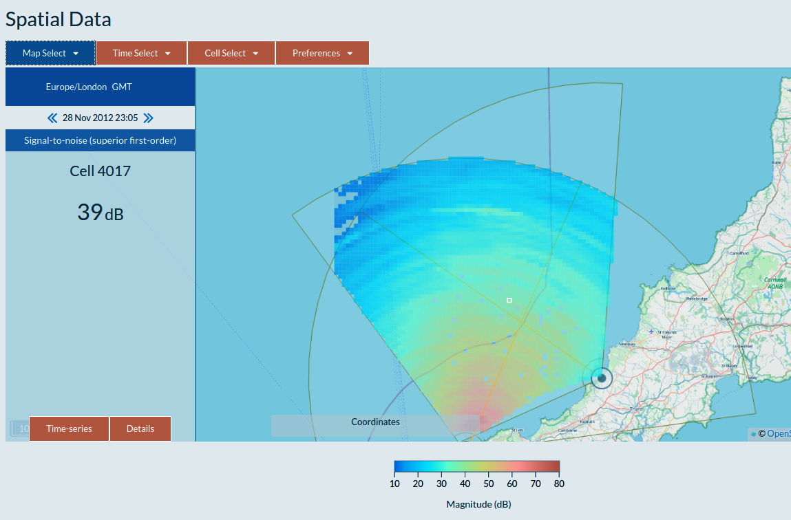
- System diagnostics
- Radar malfunction alerts via text messaging or email
- Measurements of:
- signal level and noise level time-series and maps
- Doppler spectrum
- inversion quality
- data file delivery process